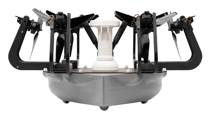
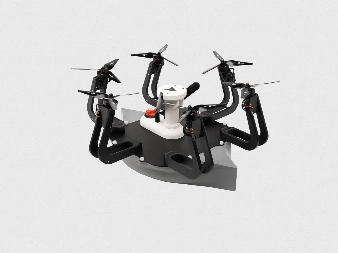
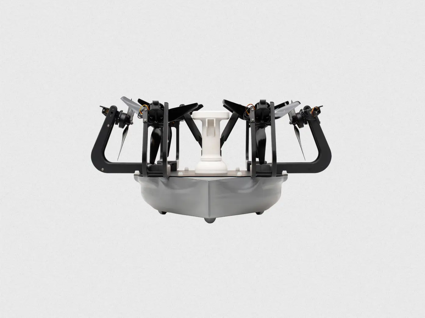
ONE PLATFORM. TWO DOMAINS. ZERO DEPLOYMENT FRICTION.
Instant access to air and water operations
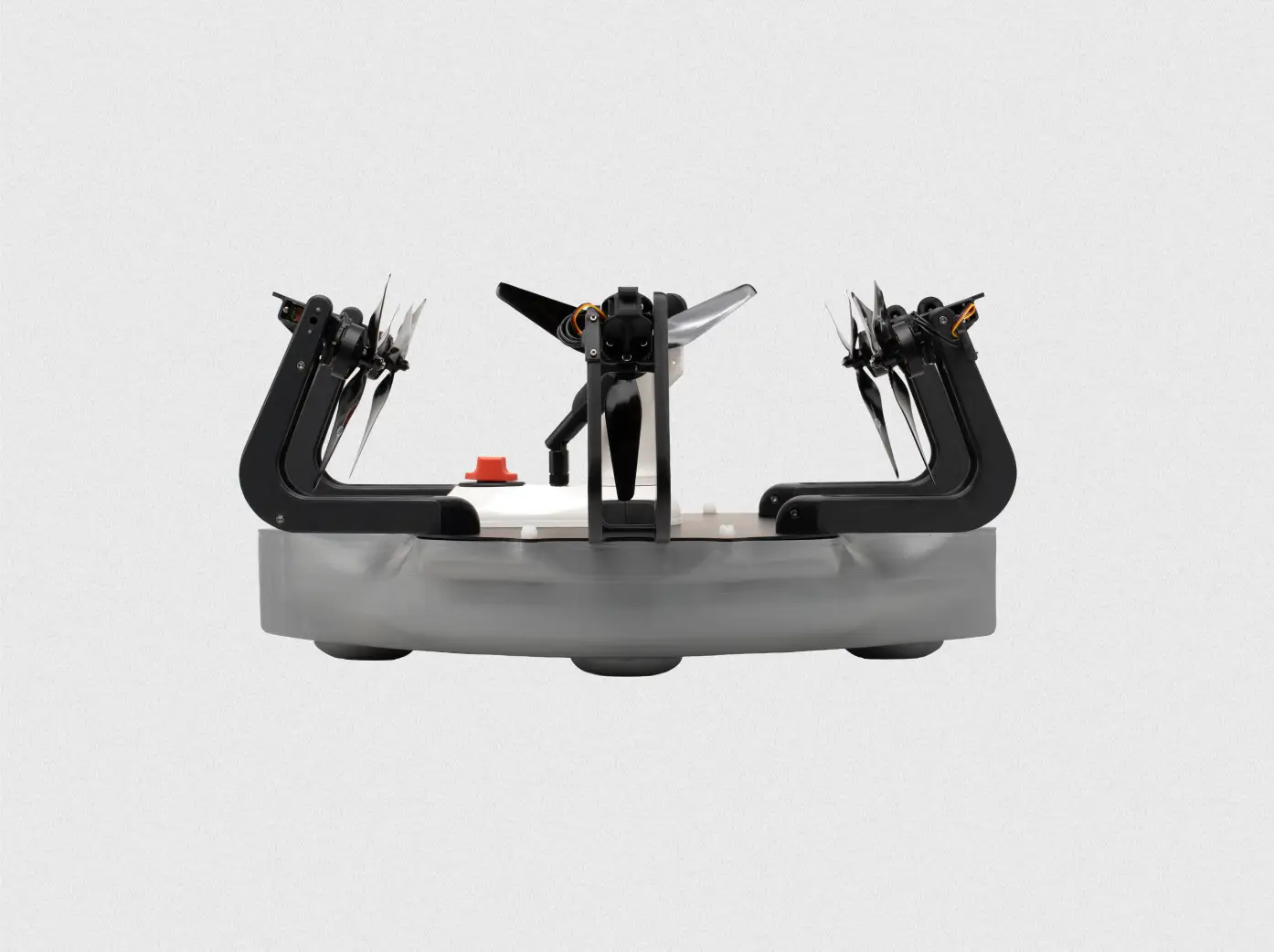
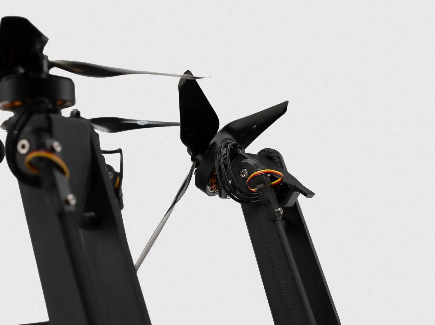
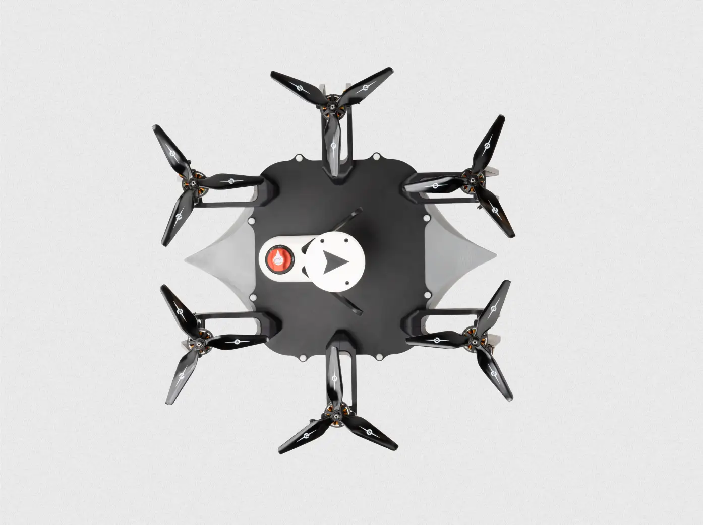
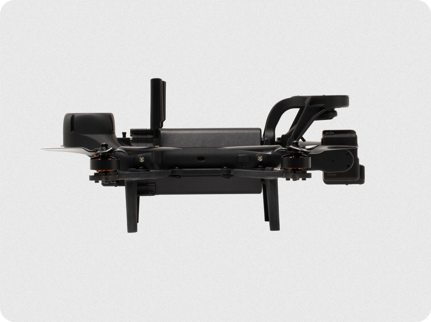
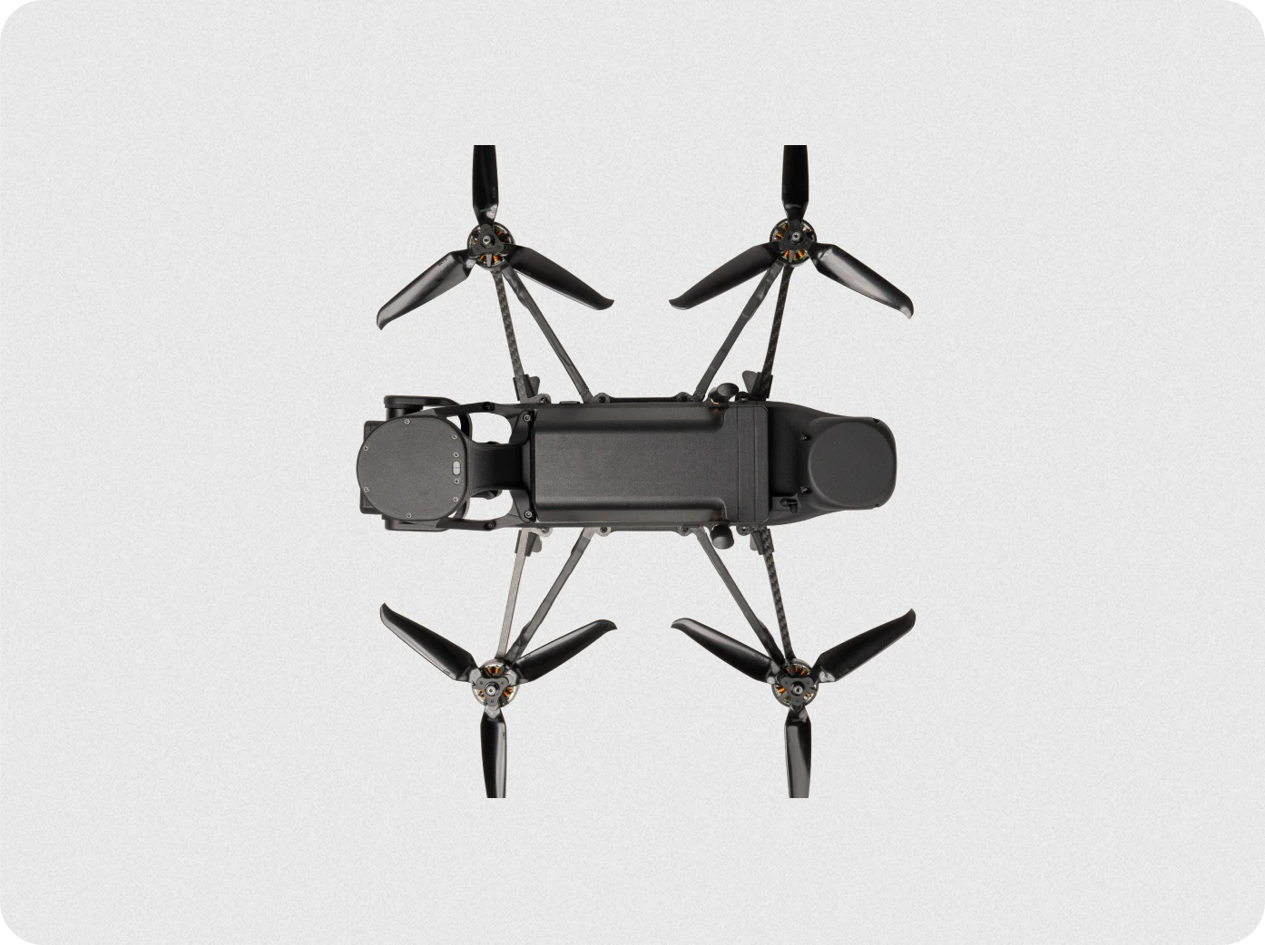
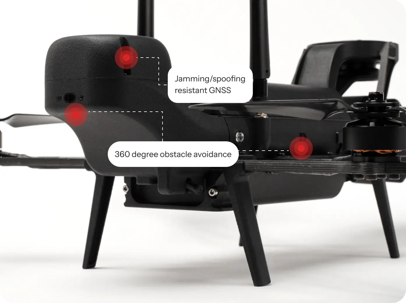
Hydrohex unites UAV and USV capabilities to deliver above‑water inspection and underwater measurement in one mission, with less crew, less risk, and more control.
ONE PLATFORM. TWO DOMAINS. ZERO DEPLOYMENT FRICTION.
Instant access to air and water operations Hydrohex unites UAV and USV capabilities to deliver above‑water inspection and underwater measurement in one mission, with less crew, less risk, and more control.
Our unmanned systems are deployed in critical operations across multiple sectors.
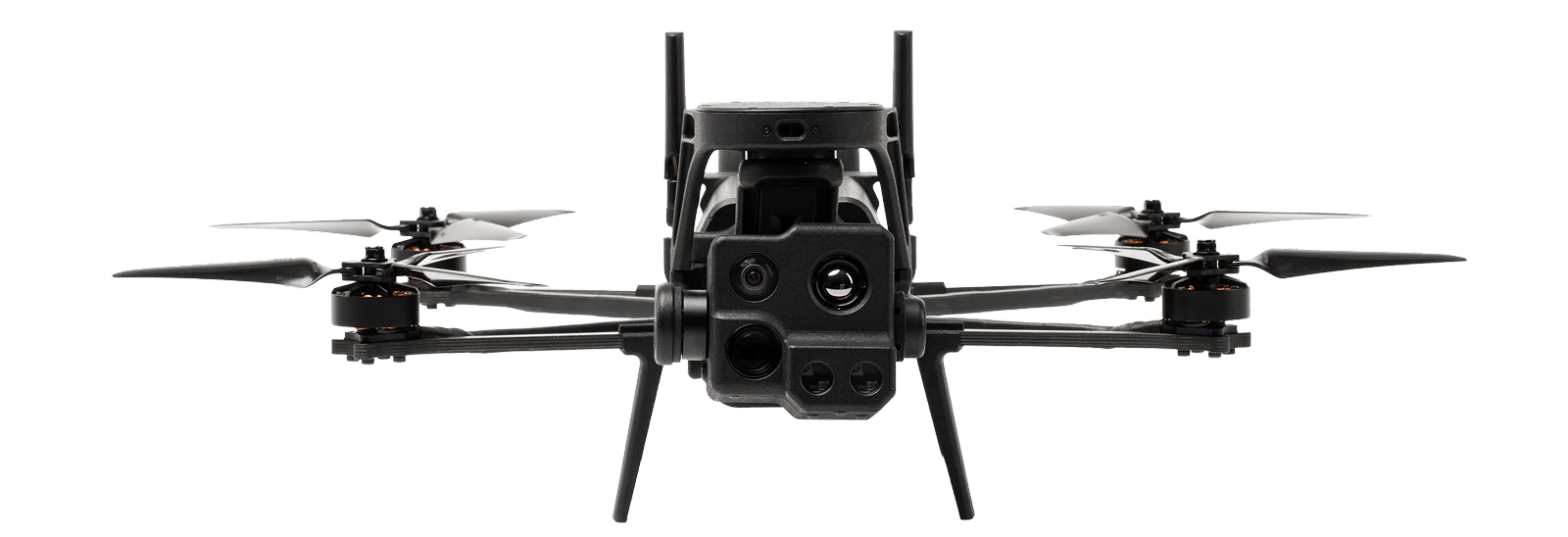
Government
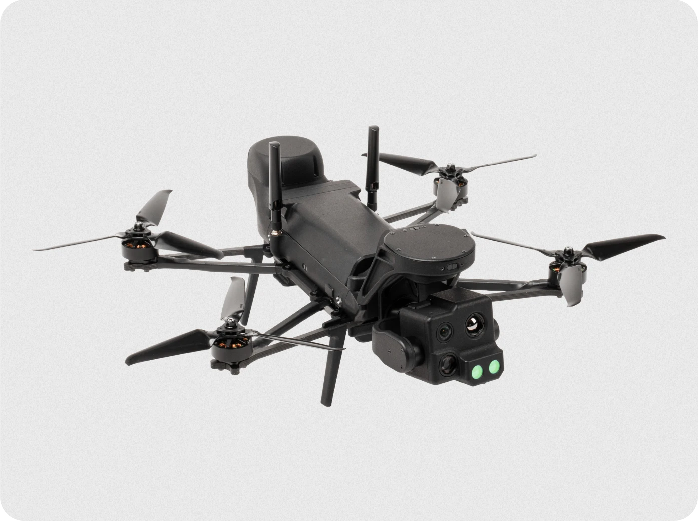
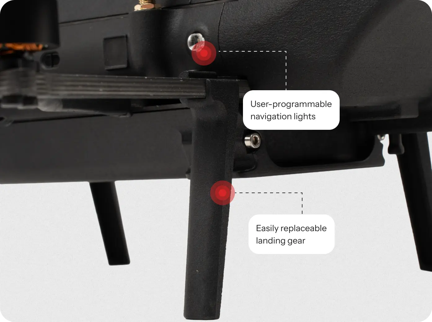
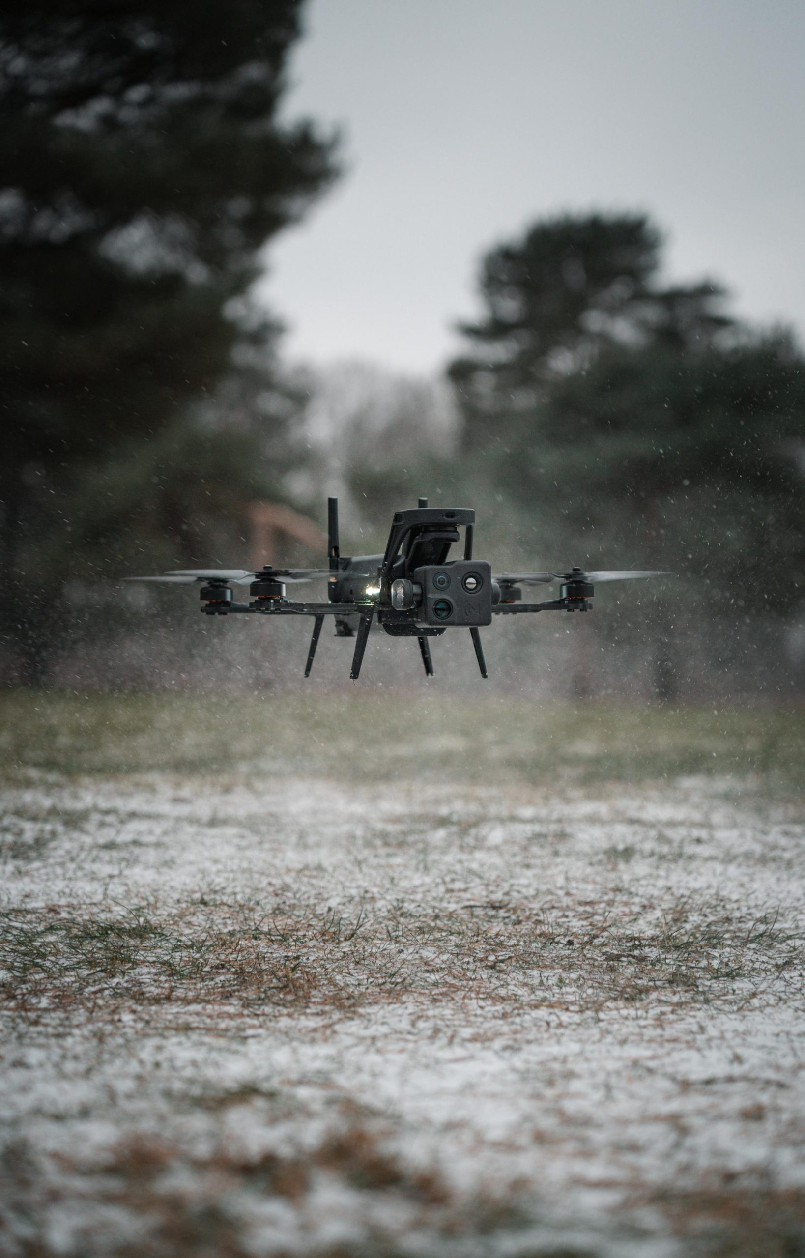
Trusted UAV systems designed for secure procurement and national-level operations, delivering rapid-deploy drones for surveillance, search missions, and real-time situational awareness.
Law enforcement
Easy-to-operate EU-made drones that rapidly boost situational awareness and safety in time-critical operations.
Military
Tactical UAVs co-developed with armed forces, using trusted EU components and resilient autonomy to give warfighters an operational edge.